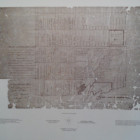
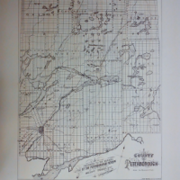
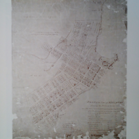
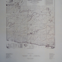
Description
In 1896, Alfred J. Cameron, and Ontario Land Surveyor, prepared a map based on Registry Office plans, and this map remains an essential guide for anyone looking for information about property in Peterborough. This map was prepared just before the Trent Canal and Lift Locks were built. It is very useful for tracing the railway lines, and seeing where developers had drawn up plans, including some that were never developed.